
.
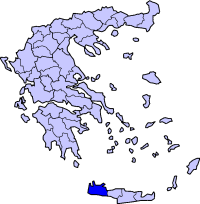
Verwaltungsbereich : Kreta
Präfektur : Chania
 |
 |
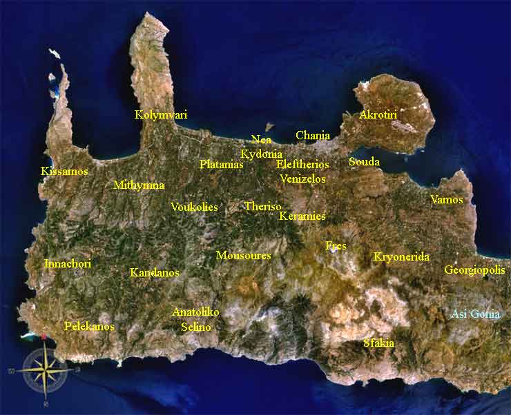
Keramia Satellitenbild
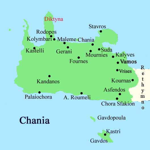
Keramia oder Keramies (Gr: Κεραμιά, Δήμος Κεραμιών) war eine Munizipalität von Chania, Teil der Kydonia Provinz
Keramia covers the high villages in the foothills of the White Mountains (Lefka Ori) to the south of the city of Chania. Though apparently close to Chania, the access to the villages of Keramia is by narrow winding hill roads, and hence the area is little developed or visited by tourists.
The sitz der Municipalität ist Gerolakos. Weitere Orte Malaxa, Katohori, Kontopoula und Drakonas .
Provinz Kydonia
Einwohner 1.630 (2001)
Koordinaten 35°25′ N 24°2′ O
PLZ 731 00
KFZ, XB
Teilung der Munizipalität
- Pappadiana / Δ.δ. Παππαδιανών [ 448 ]
- Loulos / ο Λούλος [ 157 ]
- Achlades / οι Αχλάδες [ 27 ]
- Gerolakkos / ο Γερολάκκος [ 210 ]
- Panagia / η Παναγιά [ 54 ]
- Loulos / ο Λούλος [ 157 ]
- Drakona / Δ.δ. Δρακόνας -- η Δρακόνα [ 236 ]
- Kampoi / Δ.δ. Κάμπων [ 229 ]
- Kontopoula / Δ.δ. Κοντοπούλων [ 384 ]
- Kontopoula / τα Κοντόπουλα [ 147 ]
- Katochorion / το Κατωχώριον [ 237 ]
- Kontopoula / τα Κοντόπουλα [ 147 ]
- Malaxa / Δ.δ. Μαλάξας -- η Μαλάξα [ 178 ]
- Platyvola / Δ.δ. Πλατυβόλας [ 155 ]
|
Provinz der Chania Präfektur
Apokoronas | Kissamos | Kydonia | Selino | Sfakia Munizipalität, Gemeinde der Chania Präfektur Akrotiri | Anatoliko Selino | Armeni | Chania | Eleftherios Venizelos | Fres | Georgioupoli | Innachori | Kandanos | Keramia | Kissamos | Kolymvari | Kryonerida | Mousouri | Mythimna | Nea Kydonia | Pelekanos | Platanias | Sfakia | Souda | Theriso | Vamos | Voukolies |
| Antikes Griechenland
Biographien, Griechische Mythologie , Kriegführung, Kunst, Architektur, Wissenschaft, Philosophie, Literatur, Sport, Leben, Geschichte, Index, Bilder/Zeichnungen Griechenland im Mittelalter Byzanz, Biographien, Kunst, Literatur, Orthodoxie, Byzantinische Armee, Geschichte, Index Griechenland in der Neuzeit Geographie, Inseln, Städte, Kunst, Musik, Biographien, Film, Sport, Wissenschaft, Literatur, Geschichte, --- Paulys Realencyclopädie der classischen Altertumswissenschaft Hellenica Bibliothek - Scientific Library Index Griechisch: Αλφαβητικός κατάλογος |
Referenz: "http://de.wikipedia.org/"
Der Text ist unter der Lizenz „Creative Commons Attribution/Share Alike“ verfügbar; zusätzliche Bedingungen können anwendbar sein. Einzelheiten sind in den Nutzungsbedingungen beschrieben.
